
Custom Search
|
Date: January 15, 1996 Weather: sunny, dry, low winds | Hikers |
Kamal Pope Jeremy Blossey |
Ryan Torigoe Grant Tokumi |
|---|---|---|
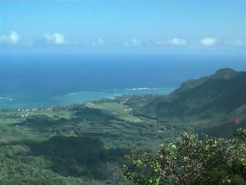
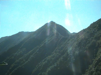
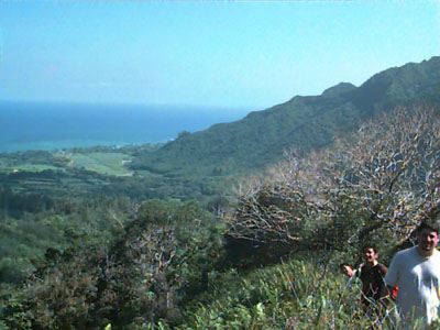 Half way up the mountain
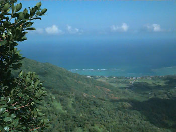
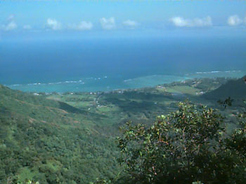
 Looking into the valley
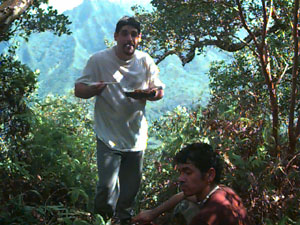 Eating our lunch and drinking the rest of our water at our
turn around point.
Eating our lunch and drinking the rest of our water at our
turn around point.
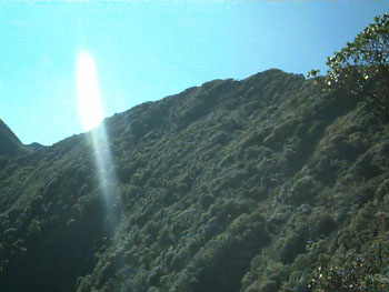
 I think this the highest we went up the mountain.
 More ocean view pictures.
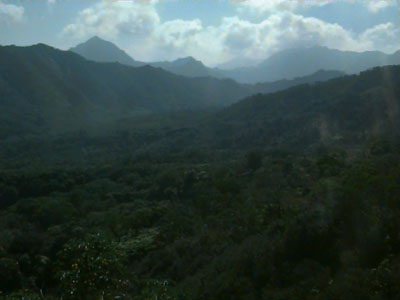
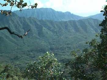 Another valley shot.
 This is the highest two of us went. The picture shows the top of the
mountain ahead of us. I think you can see the switchback trail about
half way down the picture.
This is the highest two of us went. The picture shows the top of the
mountain ahead of us. I think you can see the switchback trail about
half way down the picture.
 Another shot of the summit from our turn around point. There is a
stream up there??
Another shot of the summit from our turn around point. There is a
stream up there??
 One more ocean shot before we went back down.
We took 3.5 hours going up and 1 hour back down. We got lost a few times going up the switchback. Its so overgrown that it was pretty easy to miss a switchback. There were blue and orange ribbons on the way so those really helped a lot. It seemed like the blue one marked the steep shortcut, and the orange one marked a switchback. But we started getting so lost that we just followed any ribbon we saw.
Notes
Next time we're going to allow more time, bring lots more water (need at least 2 quarts each person), and wear long pants. Two of us was wearing shorts and our legs felt like it was going through a meat grinder by the end of the hike. And the starting point where you turn off the road is very vague. Theres two rusty poles on either side of the road where the trail begins. The start is on the right side. Theres no marker either until you get like a 100 yards in or so.
|
Custom Search
|